
Advertisements

Precision farming represents a transformative approach in agriculture, leveraging technology to enhance crop yields while minimizing waste and environmental impact. This method uses detailed data and analytics to tailor farming practices specifically to each plot of land, ensuring resources like water, fertilizers, and pesticides are used efficiently. It’s becoming a game-changer in sustainable farming, providing farmers with smarter tools for decision-making and resource management.
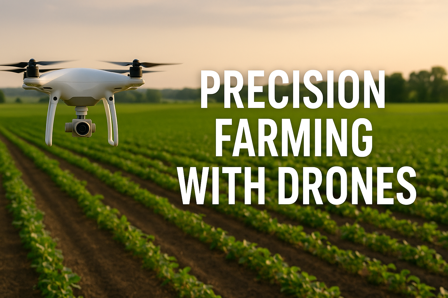
One of the most exciting advancements driving precision farming forward is the use of drones. These versatile flying devices collect high-resolution imagery and data, enabling farmers to monitor crop health, soil conditions, and irrigation needs in real-time. By integrating drone technology, precision agriculture becomes more accessible, accurate, and scalable, helping farmers optimize resource use and improve overall farm productivity.
In this article, we’ll explore how drones enable precision agriculture, breaking down core concepts, practical steps for implementation, key benefits, potential limitations, and best practices for maximizing results. Whether you’re an experienced farmer or just curious about modern agricultural technology, this guide offers a deep dive into precision farming powered by drones.
Understanding Precision Agriculture: Core Principles and Concepts
What Defines Precision Farming?
Precision farming involves using advanced technologies to observe, measure, and respond to variability in crops and soil within a specific field. Instead of applying uniform treatments, farmers can customize inputs like seeds, water, and fertilizers based on precise data. This approach reduces waste, lowers costs, and promotes sustainability by targeting only areas that need attention.
Data collection is central to precision farming, often using GPS, sensors, and aerial imagery. This data-driven method enables better control over crop production, improving yield quality and quantity. The goal is to make farming smarter and more efficient, adapting practices dynamically rather than relying on traditional blanket methods.
Ultimately, precision farming shifts agriculture towards a more scientific and environmentally conscious model. By harnessing technology, farmers gain a clearer picture of their fields and can make informed decisions that benefit both their business and the ecosystem.
Key Technologies in Precision Agriculture
Several technologies underpin precision farming, each contributing unique data points and capabilities. GPS technology allows precise mapping of fields and tracking of farming equipment. Soil sensors provide real-time data on moisture levels, pH, and nutrient content, helping tailor irrigation and fertilization.
Drones offer aerial perspectives and multispectral imaging, identifying crop stress, pest infestations, or nutrient deficiencies early. Variable rate technology (VRT) enables equipment to adjust input applications on the fly based on field data. Together, these tools create a comprehensive system that supports targeted interventions.
Integrating these technologies requires sophisticated software platforms that analyze and visualize data, offering actionable insights. This connected ecosystem transforms farming into a high-tech operation, maximizing productivity and sustainability.
Common Terms and Concepts in Precision Farming
Understanding precision farming means getting familiar with a few essential terms. “Variable Rate Application” refers to the ability to adjust inputs like fertilizer or water at different rates across a field. “Geospatial Data” involves location-based information that helps map and analyze field variability.
“Remote Sensing” describes data collection methods like satellite or drone imaging to monitor crop health without physical contact. “Yield Mapping” tracks the quantity of crop harvested from specific areas, providing feedback on field performance. These concepts form the backbone of precision agriculture, enabling smarter, site-specific management.
Mastering this terminology helps farmers and agronomists communicate effectively and make the most of precision farming technologies. It lays the foundation for adopting new tools and strategies that enhance farm efficiency and profitability.
Advertisements
- Customized input application based on field data
- Use of GPS and GIS for accurate field mapping
- Integration of sensors to monitor soil and crop health
- Remote sensing technologies, including drones and satellites
- Real-time data analysis for informed decision-making
Implementing Precision Farming with Drones: Practical Steps
Preparing Your Farm for Drone Integration
Before deploying drones in your farming operations, assess your field size, crop types, and existing technological infrastructure. It’s crucial to understand your goals—whether it’s reducing water use, improving pest management, or boosting yield. This clarity guides drone selection and data collection strategies.
Next, ensure compliance with local regulations regarding drone use. Register your drone if required and familiarize yourself with flight restrictions to avoid legal issues. Training is equally important; operators should understand both drone mechanics and agricultural principles to maximize effectiveness.
Lastly, establish a baseline dataset of your fields through initial drone flights and soil tests. This baseline helps measure improvements and identify areas needing attention. Proper preparation sets the stage for successful integration of drones into precision farming systems.
Conducting Drone Surveys and Data Collection
Drone flights should be planned carefully to capture consistent and high-quality data. Optimal weather conditions with low wind and clear skies enhance image clarity. Flying at set altitudes and using multispectral or thermal sensors enables detection of crop stress, irrigation issues, or pest outbreaks.
Automated flight paths programmed via software ensure comprehensive coverage without gaps. Data collected may include RGB images, NDVI (Normalized Difference Vegetation Index) maps, and thermal readings. These layers provide insights into plant health and soil moisture variability.
Regular drone surveys—weekly or biweekly during key growth stages—allow early detection of problems and timely interventions. Consistent data collection is key to leveraging precision farming benefits fully.
Analyzing Drone Data for Decision-Making
Raw drone data requires processing through specialized software that translates images into actionable information. Tools generate visual maps highlighting zones of concern, such as nutrient deficiencies or pest infestations. These maps guide targeted treatments, reducing unnecessary input use.
Farmers can overlay drone data with historical records, weather forecasts, and soil tests to create comprehensive management plans. Integrating this information supports precision irrigation, fertilization, and crop protection strategies.
Moreover, cloud-based platforms enable remote access and collaboration with agronomists or advisors, enhancing decision-making quality. The ability to interpret and apply drone data transforms traditional farming into a proactive, data-driven operation.
- Assess farm needs and regulatory requirements
- Choose suitable drone equipment and sensors
- Plan and execute regular drone flights
- Process and analyze collected data via software
- Implement targeted interventions based on insights
- Monitor results and adjust strategies over time
| Method | Precision Level | Cost Range |
|---|---|---|
| Traditional Farming | Low (uniform application) | Low ($) |
| GPS-Guided Machinery | Medium (field-level accuracy) | Medium ($$) |
| Drone-Assisted Precision Farming | High (sub-field variability) | High ($$$) |
Benefits of Drone-Enabled Precision Agriculture
Improved Resource Efficiency
Drones enable precise monitoring of crop and soil conditions, allowing farmers to optimize the use of water, fertilizers, and pesticides. This precision reduces waste, lowers input costs, and minimizes environmental impact. For example, targeted irrigation based on drone data can cut water use by up to 30% without compromising yields.
By addressing only the areas that need attention, farmers avoid over-application, which often leads to runoff and pollution. Improved resource efficiency also contributes to sustainability goals, preserving natural resources for future generations.
Ultimately, drones help balance profitability with environmental stewardship, proving that smart farming can be both economically and ecologically sound.
Enhanced Crop Monitoring and Early Problem Detection
High-resolution drone imagery provides detailed insights into crop health that are difficult to obtain from ground-level observations. Farmers can spot disease outbreaks, pest infestations, or nutrient deficiencies early, sometimes days or weeks before visible symptoms appear.
This early warning system allows for swift responses, preventing yield losses and reducing the need for broad-spectrum chemical treatments. Timely interventions improve overall crop quality, ensuring better market value and profitability.
In addition, drones can monitor large or remote fields efficiently, saving time and labor compared to manual scouting.
Data-Driven Decision Making and Yield Optimization
The analytical capabilities of drone technology empower farmers to base decisions on real-time, site-specific data rather than guesswork. This precision supports variable rate applications and tailored crop management plans that maximize yield potential.
Studies show that farms implementing drone-enabled precision agriculture can increase yields by 10-15% through optimized input use and early problem detection. Additionally, data collected over multiple seasons helps refine strategies and improve long-term farm management.
This shift towards evidence-based farming fosters continuous improvement and competitive advantage in an increasingly complex agricultural landscape.
- Reduces input waste and lowers costs
- Increases water-use efficiency by up to 30%
- Detects crop stress and pests early
- Improves yield quality and quantity
- Saves time on field monitoring
- Supports sustainable farming practices
Challenges and Limitations of Drone-Based Precision Farming
High Initial Investment and Operational Costs
While drones offer significant benefits, the upfront costs can be a barrier for many farmers. High-quality drones equipped with multispectral sensors often cost several thousand dollars, excluding software subscriptions and training expenses.
Operational costs, including maintenance and data processing fees, add to the long-term investment. Smaller farms or those with limited capital may find these expenses prohibitive without external support or financing options.
Despite these challenges, the return on investment can be favorable when drones are used effectively and integrated into broader precision farming systems.
Technical Expertise and Data Management
Operating drones and interpreting their data requires specialized knowledge. Farmers must either acquire new skills or collaborate with agronomists and drone service providers. The learning curve can be steep, especially for those unfamiliar with digital technologies.
Data management is another hurdle—large volumes of high-resolution images demand robust software and cloud storage solutions. Without proper handling, important insights may be overlooked or misinterpreted, limiting the value of drone investments.
Building capacity and user-friendly tools are critical to overcoming these barriers and expanding adoption.
Regulatory and Environmental Constraints
Drone operations are subject to strict regulations regarding flight zones, altitude limits, and privacy concerns. Navigating these rules can be complex, requiring permits and adherence to national aviation standards.
Additionally, environmental factors such as weather conditions influence drone usability. Heavy rain, strong winds, or dense fog restrict flight opportunities and data quality, potentially delaying monitoring schedules.
Farmers must plan around these constraints to ensure consistent and reliable drone deployment within precision farming frameworks.
- High upfront cost for equipment and software
- Requires specialized skills for operation and analysis
- Regulatory hurdles and flight restrictions
- Weather-dependent flight conditions
| Aspect | Advantages | Disadvantages |
|---|---|---|
| Cost | Long-term savings through optimized inputs | High initial investment |
| Usability | Efficient data collection over large areas | Requires technical expertise |
| Environmental Impact | Reduces chemical runoff and water waste | Dependent on weather |
Best Practices for Maximizing Drone Impact in Precision Farming
Integrate Drone Data with Other Farm Management Systems
To unlock the full potential of drone technology, farmers should combine aerial data with soil tests, weather data, and historical yield records. This integration provides a holistic view of field conditions and enables more precise interventions.
Using farm management software that supports multiple data layers facilitates analysis and decision-making. The synergy between drone data and other inputs creates a powerful platform for strategic planning and operational efficiency.
Such integration also supports traceability and reporting, valuable for certifications and sustainability programs.
Schedule Regular and Strategic Drone Flights
Consistency is key when using drones for precision farming. Regular flights aligned with crop growth stages help detect changes and anomalies promptly. Strategic timing—such as before fertilization or irrigation—maximizes the relevance of the data collected.
Seasonal planning also aids in tracking long-term trends and assessing the effectiveness of interventions. Establishing flight protocols ensures data quality and comparability over time, enhancing decision-making accuracy.
Farmers should balance frequency with operational costs and weather conditions to optimize drone usage.
Invest in Training and Collaboration
Building technical skills within the farm team or partnering with drone service providers ensures effective operations and data interpretation. Training programs help users understand drone capabilities, safety protocols, and analytical tools.
Collaboration with agronomists or precision agriculture consultants can accelerate learning and provide expert insights. Sharing experiences and data with peers through farmer networks fosters innovation and continuous improvement.
Prioritizing education and partnerships makes drone adoption smoother and more impactful in the long run.
- Combine drone data with soil and weather information
- Plan drone flights around crop growth stages
- Maintain consistent data collection schedules
- Provide ongoing training for operators
- Collaborate with agronomists and consultants
- Leverage farm management software for integration
Emerging Tools and Technologies Supporting Precision Farming
Advanced Sensors and Imaging Technologies
New sensor technologies are enhancing drone capabilities, including hyperspectral cameras that capture a wider range of light wavelengths for deeper crop analysis. Thermal sensors detect temperature variations linked to plant stress or irrigation issues.
LiDAR (Light Detection and Ranging) provides precise 3D mapping of terrain and crop structure, useful for detailed planning and monitoring. These advancements improve the resolution and accuracy of data, allowing even finer precision in farm management.
Adopting these sensors requires investment but offers considerable returns through improved insights and targeted interventions.
Artificial Intelligence and Machine Learning Integration
AI-driven platforms analyze drone data to identify patterns and predict outcomes, automating much of the decision-making process. Machine learning algorithms can detect disease outbreaks or nutrient deficiencies earlier than human scouts.
These technologies enable real-time recommendations and adaptive management, helping farmers respond dynamically to changing conditions. AI also facilitates optimized resource allocation, reducing waste and costs further.
As AI matures, its role in precision farming will expand, making drone data even more actionable and accessible.
Cloud-Based Platforms and Mobile Applications
Cloud computing allows large datasets from drones to be stored, processed, and accessed anywhere, supporting collaboration among farm teams and advisors. Mobile apps provide user-friendly interfaces for real-time monitoring and alerts on smartphones or tablets.
These platforms often include visualization tools like heat maps and growth models, simplifying complex data interpretation. The convenience and flexibility offered by cloud and mobile technologies increase adoption and practical use of precision farming methods.
Farmers benefit from timely insights and the ability to make informed decisions on the go, enhancing operational efficiency.
- Hyperspectral and thermal sensors for detailed analysis
- LiDAR for accurate 3D crop and terrain mapping
- AI algorithms for predictive analytics and early detection
- Cloud platforms for data storage and collaboration
- Mobile apps for real-time field monitoring
- Integration with farm management systems
Conclusion
Precision farming, empowered by drones, is revolutionizing agriculture by providing farmers with accurate, timely, and actionable data. This technology enhances resource efficiency, improves crop health monitoring, and supports data-driven decision-making that boosts yields and sustainability. While challenges like cost and technical expertise remain, best practices and emerging tools continue to lower barriers and expand adoption.
Embracing drone-enabled precision farming is not just about adopting new gadgets, but about transforming the entire approach to agriculture—making it smarter, more sustainable, and ultimately more profitable. Now is the time to explore how these innovations can fit into your farming strategy and drive meaningful results.
Frequently Asked Questions
What is precision farming?
Precision farming is an agricultural management concept that uses technology to observe, measure, and respond to variability in crops and soils. It allows farmers to customize treatments like irrigation and fertilization on a site-specific basis, improving efficiency and crop yield while reducing waste and environmental impact.
How do drones work in precision agriculture?
Drones collect aerial imagery and sensor data over fields, capturing detailed information on crop health, soil conditions, and irrigation needs. This data is processed through specialized software to generate actionable maps and insights, enabling targeted interventions and better resource management.
What is the difference between traditional and precision farming?
Traditional farming applies inputs uniformly across a field, often leading to inefficiencies and waste. Precision farming uses data-driven approaches and technology, such as drones and sensors, to apply resources variably based on specific needs of different field zones, optimizing productivity and sustainability.
When should I use drone technology in farming?
Drones are best used throughout the growing season, especially during critical stages like planting, irrigation, fertilization, and pest monitoring. Regular drone flights help detect early signs of stress or disease, allowing timely and precise interventions to protect crop health.
How much does drone-enabled precision farming cost?
The initial investment ranges from a few thousand to tens of thousands of dollars depending on drone type and sensors used, plus software and training costs. However, many farmers find the long-term savings in input costs and yield improvements justify the expense.
Sources:
Advertisements